


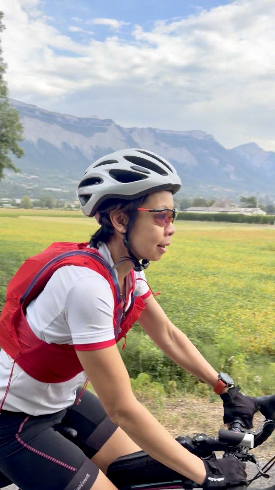
While cooped up avoiding blistering heat in our Drôme Provençale gîte, my husband planned a bikepacking tour. Using AI Claude, he drafted a 3-day, 225 km itinerary along La Belle Via, with 1,300 m of total climb. On Day 3, we would return to Grenoble by train from Montmélian. In fact, all route logistics—from elevation profiles to bakery stops and hotels—filled a neat 17-page PDF. There was even an option to extend the trip by one day. To simplify logistics, we booked city-centre hotels that offered secure bicycle storage.
Day 2: Chambéry (Savoie) – Aix-les-Bains (Savoie) – Col de Leschaux – Annecy (Haute-Savoie); 70 km, 805 m elevation gain
Day 3: Annecy (Haute-Savoie) – Albertville (Savoie) – Montmélian (Savoie); 85 km, 142 m elevation gain
For the first and last day, we stayed on La Belle Via. It is a cycling route with little elevation that crosses 4 French departments from Valence to eastern Annecy. Roughly half of the route is on dedicated cycling paths while the rest is on rural roads with little traffic.
La Belle Via is shaped like a 2-pronged fork. To reach Annecy from Chambéry on Day 2 without retracing our steps, we had to climb the Col de Leschaux, an Alpine mountain pass. Specifically, it sits at 897 m in the Massif des Bauges.
Being a bike fanatic, my husband had always wanted to do a bikepacking trip in France. So far, we had done a few day trips and one 2-day, 1-night trip. The latter was done eight years ago in Transylvania, Romania. At that time, we just each carried a backpack with just one change of clothes and some energy bars.
My other half had planned for us to set out 3 days after we returned to Grenoble from the gîte. As we didn’t possess any bikepacking bags, he had to order them online, with a special request for express delivery. Hence, he collected them from the parcel pickup point right after we got back to Grenoble on Saturday afternoon.
That afternoon, my husband checked our bikes, which included inspecting the brakes, inflating the tires, and adjusting the cockpit. In addition, he had to replace the tires of my 10-year-old bicycle. He then set up the newly purchased bags.
On Sunday morning, we did a 2-hour flat spin along the Isère River. He continued to refine our route right up until Tuesday morning, when we finally embarked on our trip. I am embarrassed to say that I had left all the preparation to him as I knew nothing about the mechanics. Instead, my job was to just spin the pedals.
We set out just before 8:30 a.m. on Tuesday morning. Day One was the “coolest” out of the three days with a forecast of around the early thirties. We departed under cloudy skies, dodging a few raindrops through the Grenoble centre. Thank goodness the few drops of rain remained just that: a few drops. A shower would have been disastrous. Nevertheless, the overcast skies were a blessing, keeping the heatwave away for nearly half our ride.
We took it easy on the first day. In other words, it was more of a sightseeing tour for us, with frequent picture stops. The Isère River accompanied us for the first 24 km as we cycled on the dedicated bike lanes. As we moved further away from the river, the lanes changed into well-maintained rural roads. Being in the Pre-Alps region, we got to enjoy four massifs as we cruised along: Vercors, Chartreuse, Belledonne and Bauges.
The route on the first day was relatively flat except for two killer sections. For the first section, it took me 5 minutes to cover a 600 m bump with a gradient of 9%. As I hadn’t gotten used to changing gears, I forgot to drop my front gear as I was climbing. By the time I reached the top, my throat was sore from my ragged breathing. The second killer happened around 3 km after our lunch. By contrast, it was gentler: a gradient of 7% over 200 m.
One of the advantages of this trip was to discover the local agricultural sector. For example, I didn’t know that corn, soya, and sunflowers were grown in this region. As we moved further and slightly higher up in the valley, we saw apple orchards and walnut groves. When we crossed into Savoie, one of the first road signs that we saw was “Route des Vignobles de Savoie.”
After frequent picture stops and an hour-long lunch break, we reached Chambéry before two o’clock. We were fortunate that the hotel staff let us check in early and even store our bikes in the room. After unpacking, we explored this charming city that was the historic capital of the Duchy of Savoy, heavily influenced by northern Italian architecture.
In truth, I started with mixed feelings: enthusiastic to explore new places, yet anxious about not rising to the physical challenge. My husband’s contingency plan was to leave me at a train station while he finished the rest of the itinerary—though I was in two minds about whether to find that reassuring. All in all, it was a good day’s ride without pushing past my limits. I needed to save my energy to climb the Col de Leschaux the following day.