


It was our first morning at Le Poët-Laval, a medieval village in Drôme Provençale where we rented our summer gîte (holiday home). To explore the surroundings, we decided to do a trail run in Le Poët-Laval. My other half had planned a trail running route of 10.3 km departing directly from our doorstep. The route would take us to the highest point in the village before entering the forest.
The climb started immediately from our gate. It was a relentless ascent through meandering cobbled streets and past pale ochre stone houses, before reaching the donjon (keep) at an altitude of 400 m. As usual, I tried jogging up the slope but surrendered just minutes in, with my heart rate racing. Perhaps it wasn’t the best idea to run up a hill during a heatwave especially since my last run was two weeks ago and it was along a flat beach in Singapore!
We hiked along a mix of cobbled streets and asphalt roads for about 600 m to reach the entrance of the forest. The morning temperature was still reasonable (under 30°C), and the forest shade made us forget momentarily we were in the middle of the fourth heatwave in France.
The ascent continued in the forest along technical, rocky trails. It was a heavily front-loaded route up to the lookout point at 838 m. By this time, we had only done 3 km out of the planned 10.3 km route. Even though it was only 3 km in distance, the average gradient exceeded 10% as the total elevation gain was already 470 m. We were awarded with a panoramic view of the Drôme valley.
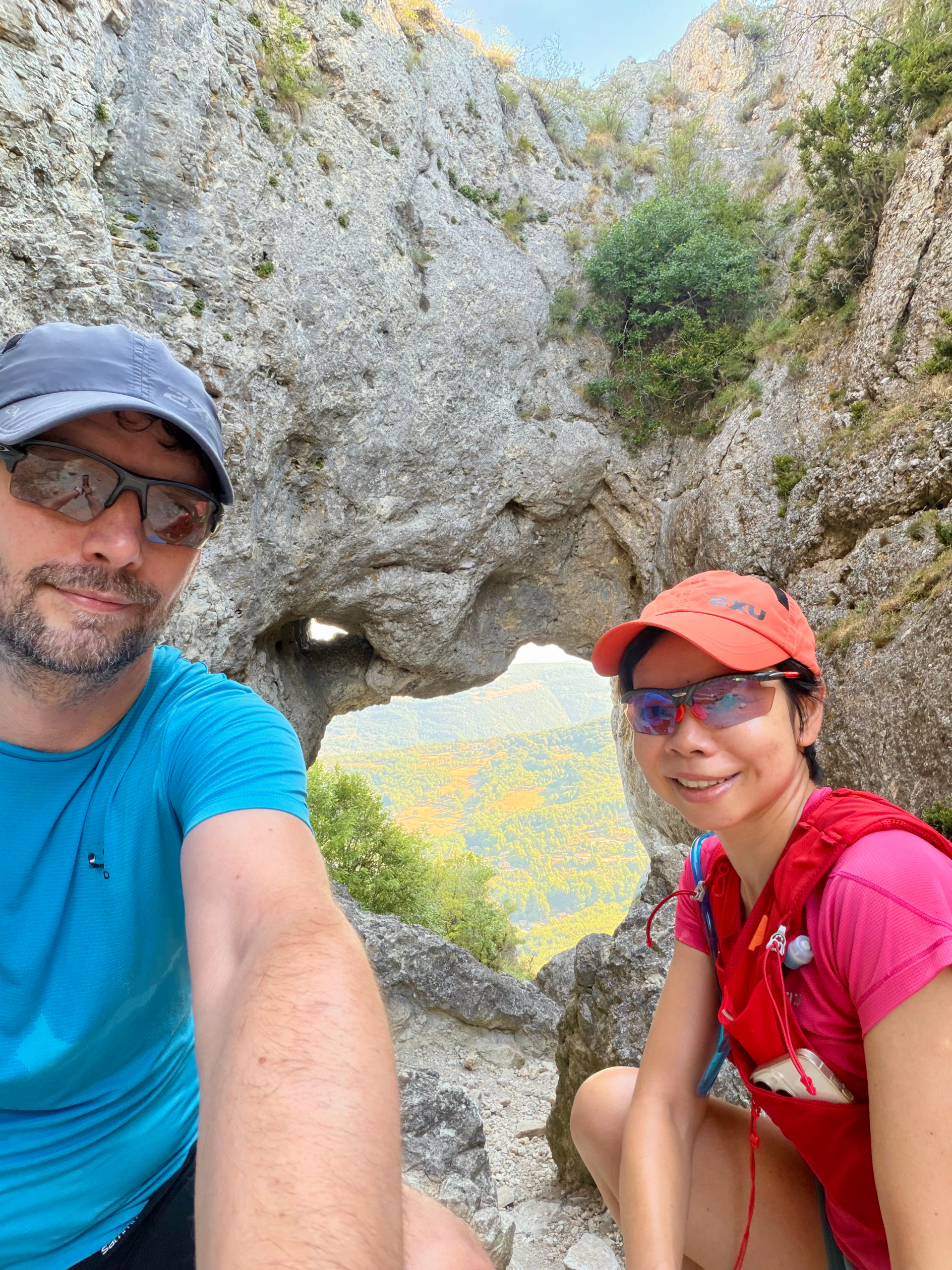
However, the best perspective of that day was not at the lookout point. It was at a spot 100 m away and 20 m lower at the Trou du Furet (roughly translated as the Ferret Hole). The Trou du Furet was a natural arch carved into a big rock face by erosion, situated on the cliffs of Eyzahut, a neighbouring village. Framed by the arch, the vista of the Drôme valley seemed more breadthtaking.
From there, it was 7.3 km of descent. The first 2.0 km was a sheer drop of 270 m, littered with big rocks and long stretches of loose stones. The remaining path back to the gîte, mainly on exposed dirt roads, was kinder on our quadriceps as it sloped more gently (5%) back towards the village. We finished in 2 hours, wrapping up at 10:30 a.m. and avoiding the worst of the heat. A good workout to start the day!